
 Scientists from the U.S. Geological Survey, in cooperation with the National Fish and Wildlife Foundation and the Bureau of Reclamation have released a numerical computer model of the lower Walker River Basin hydrologic system and associated report.
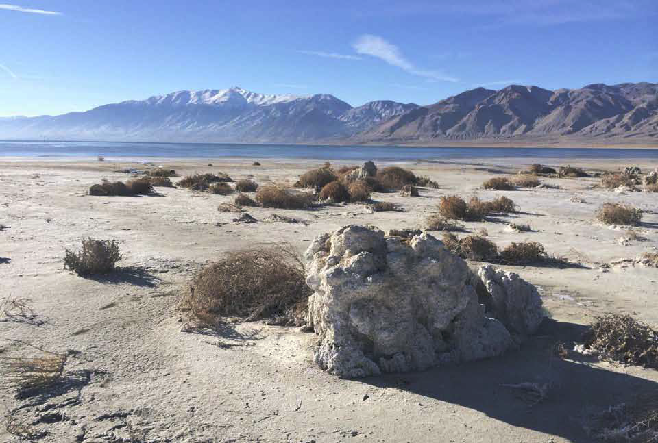
Walker Lake has been receding over the last century and salinity has increased to levels in which many native fish and migratory waterfowl species are no longer present. The model is important to help understand effects of restoration activities in the Walker River Basin on Walker River streamflows and Walker Lake levels and salinity.
“The completion of this model represents a substantial advance in our ability to understand the impacts our water acquisitions program and other restoration activities are having on Walker Lake,” said Joy Morris, Director for the National Fish and Wildlife Foundation’s Walker River Basin Restoration Program. “It is helping to focus the conversation from a place with lots of uncertainty to more solid expectations on the timeline and volume of water needed to increase the lake level and reduce the salinity back to a sustainable ecological habitat.”
The model simulates major hydrologic processes within the lower Walker River Basin including Walker River streamflows and diversions; Weber Reservoir and Walker Lake levels, volumes, and salinity; and groundwater inflows, outflows, and changes in storage. The hydrologic model includes the entire 1,240 square miles of Walker Lake Valley, an area roughly the size of Rhode Island. The model domain extends from the USGS Wabuska Gage in northern Mason Valley to the southern end of Whiskey Flat south of Hawthorne.
“This model represents the culmination of knowledge learned from past scientific investigations of the lower Walker River Basin,” said Kip Allander, a hydrologist with the USGS and the principal investigator. “It is a tool that can be used to evaluate effects of water management decisions on the hydrologic system, and in particular Walker Lake.”
The model and report are available to the public on the USGS Publications Warehouse website (http://pubs.usgs.gov/sir/2014/5190/). For additional information regarding this work and publication, the principal investigator can be reached by email at kalland@usgs.gov or by phone at (775) 887-7675.
The mission of the USGS Nevada Water Science Center is to provide sound, technical, and unbiased research and monitoring of water resources in the State of Nevada. Additional information can be obtained at the Nevada Water Science Center homepage (http://nevada.usgs.gov/water/).

